Skip to content

Calaveras Dome II July 19, 2025

  1. Jeff L Member Joined: October 2023

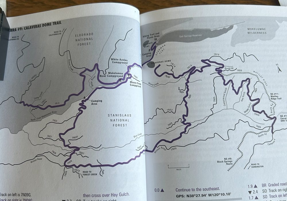
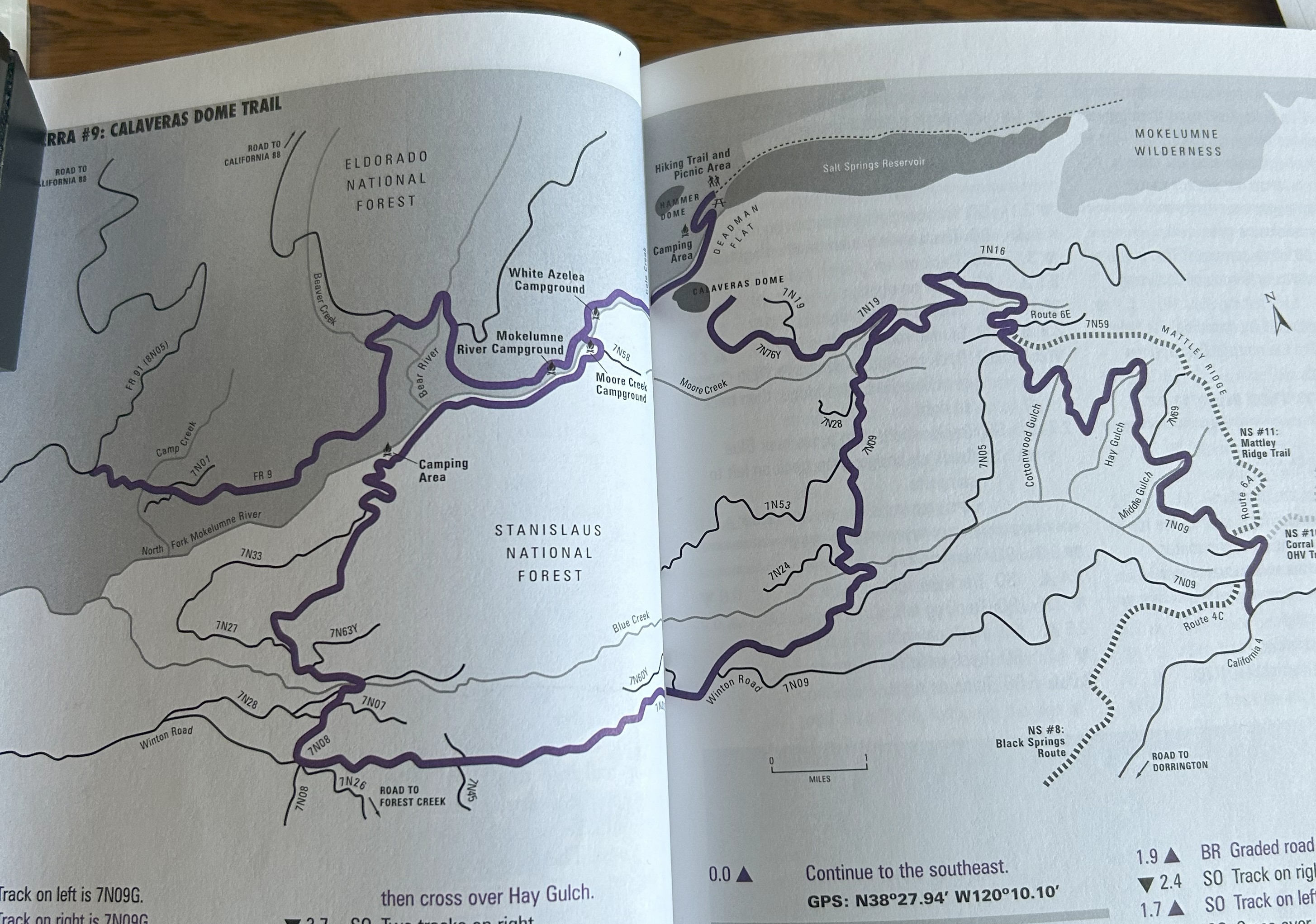
    I am going back to the Calaveras Dome trail system Saturday, July19th.  This time I will enter the trail system from Hwy 4 and exit on Hwy 88.  This is the part of the trail we did not complete on the last run, so a bit of exploring.  It is an overland trail of 50 miles, difficulty rating 2/10, 5 - 6 hours of driving time if one does the entire trail, not counting stops, exploring and lunch.  Scenic rating is 9/10.  The trail description notes the requirement of a high clearance vehicle, some of the trail is paved and can be done in a passenger car, so a very easy trail.  The goal is to see the Dome, this time from the west side.  If anyone is interested, please post.  We would meet at the Chevron gas station in Arnold, 960 Hwy 4 at 8:00.  Depart for the trail around 8:30.
  2. Guy and Lynda Member Joined: May 2015
    #219 Jun 2025, 12:36 AM
    Jeff L said I am going back to the Calaveras Dome trail system Saturday, July19th.  This time I will enter the trail system from Hwy 4 and exit on Hwy 88.  This is the part of the trail we did not complete on the last run, so a bit of exploring.  It is an overland trail of 50 miles, difficulty rating 2/10, 5 - 6 hours of driving time if one does the entire trail, not counting stops, exploring and lunch.  Scenic rating is 9/10.  The trail description notes the requirement of a high clearance vehicle, some of the trail is paved and can be done in a passenger car, so a very easy trail.  The goal is to see the Dome, this time from the west side.  If anyone is interested, please post.  We would meet at the Chevron gas station in Arnold, 960 Hwy 4 at 8:00.  Depart for the trail around 8:30.
    Lynda & I are in...

  3. kris_olof Trailmaster Joined: October 2015
    #325 Jun 2025, 3:51 AM

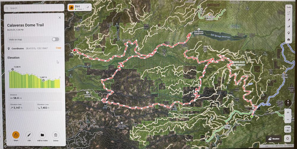
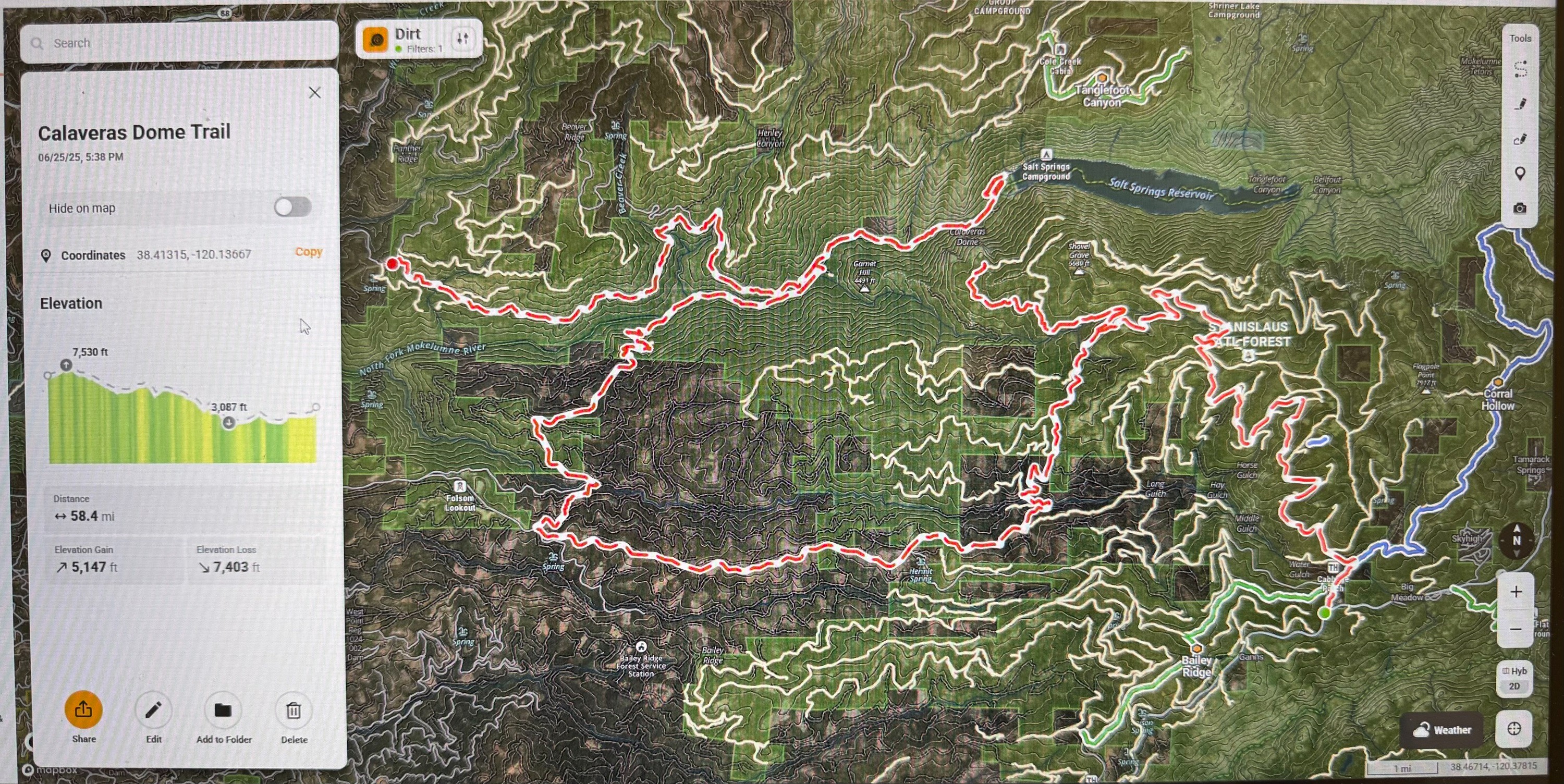
    Curious the route you have planned. Per the MVUM the only legal road that crosses from 4 to 88 is Deer Valley until you are a few miles west of Salt Springs Res. Can you share on OnX?

  4. Jeff L started this Member Joined: October 2023
    #425 Jun 2025, 6:33 AM

    I do not know how to create a map on OnX and download it but this is the map of the trial description I found in a trail book by Peter Massey.  I could also easily see the trail route on the Gaia app and the OnX app which showed the route through the maze of forest roads in that area.  I will bring the book to the next meeting.IMG_3334.jpg

    • IMG_3334.jpg
  5. kris_olof Trailmaster Joined: October 2015
    #525 Jun 2025, 11:03 AM

    Yeah, that route appears to follow currently mapped routes on the MVUM. Expect to have to figure out the exact way through the area in the bottom left while you are out there. The roads are all on SPI land and subject to closures depending on what they are logging at the time. Looks like the specific route from the book have either been bulldozed or that section of the trail map was significantly simplified for printing. I have the route as an OnX file if you want it.

    IMG_5665r.jpg

    Looks like some nice easy driving. I might join in for the day and then camp somewhere out there for the night.

    • IMG_5665r.jpg
  6. Jeff L started this Member Joined: October 2023
    #625 Jun 2025, 2:17 PM

    Thanks Kris,  Yeah the lower left of the trial looked to be a bit nebulous on the map, hopefully no gate closures.  As mentioned, the Gaia app shows the route well too.  Yes I would appreciate the the OnX file you have created.  How can I get it on my OnX app?  I will not be camping but when we were out the first time on June 7th, the Mokelumne River Campground was beautiful, I hope to camp there some time, right by the river and lots of open campsites on a weekend....I researched that those campsites are first come first serve.  The area on the left of the map marked "camping area" looks interesting and I believe is a dispersed camping area by the river.

  7. Folsom4Rnr (Brian) Member Joined: April 2019
    #726 Jun 2025, 8:37 AM

    Ugg... I'd love to join, but have a family commitment that conflicts 🙁 Will look forward to the update.

    // Brian //
  8. Jeff L started this Member Joined: October 2023
    #816 Jul 2025, 6:05 AM

    Updated list of folks going on the Calaveras Dome II run.

    1.  Jeff L.

    2.  Lynda and Guy.

    3.  Brad and Kathleen + 1

    4.  Anthony.

    See you Saturday in Arnold at 8:00.  Everyone please bring radios.

  9. tonytech1 Member Joined: July 2025
    #916 Jul 2025, 6:22 AM

    Jeff,

    We may be interested in going on this trip.  Is it open to non-members joining you?

    Tony & Amy
  10. Jeff L started this Member Joined: October 2023
    #1016 Jul 2025, 9:25 AM

    Yes this run is open to non-members.  Please confirm if you are going so we get an accurate head count.

  11. tonytech1 Member Joined: July 2025
    #1116 Jul 2025, 12:49 PM
    Jeff L said Yes this run is open to non-members.  Please confirm if you are going so we get an accurate head count.   

    I will be there. Looks like I will not have a passenger this time.

    Tony & Amy
  12. Jeff L started this Member Joined: October 2023
    #1216 Jul 2025, 1:20 PM
    tonytech1 said
    Jeff L said Yes this run is open to non-members.  Please confirm if you are going so we get an accurate head count.   

    I will be there. Looks like I will not have a passenger this time.
      

    Great, see you on Saturday.

  13. BKGM Jeepers President Joined: June 2003
    #1317 Jul 2025, 1:12 AM

    Thanks for adding me Jeff.  See you in a couple days!

    Kathleen and Brad
  14. Jeff L started this Member Joined: October 2023
    #1418 Jul 2025, 4:48 AM

    See everyone tomorrow at 8:00 in Arnold.  If any problems getting over to Arnold, my cell phone is 916 715 1485.  The Calaveras Dome awaits!!!

  15. Jeff L started this Member Joined: October 2023
    #1519 Jul 2025, 2:31 PM

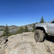
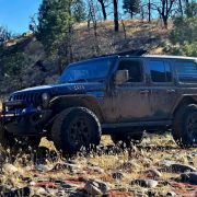
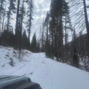
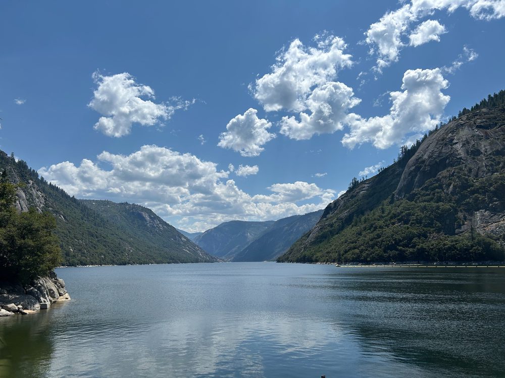
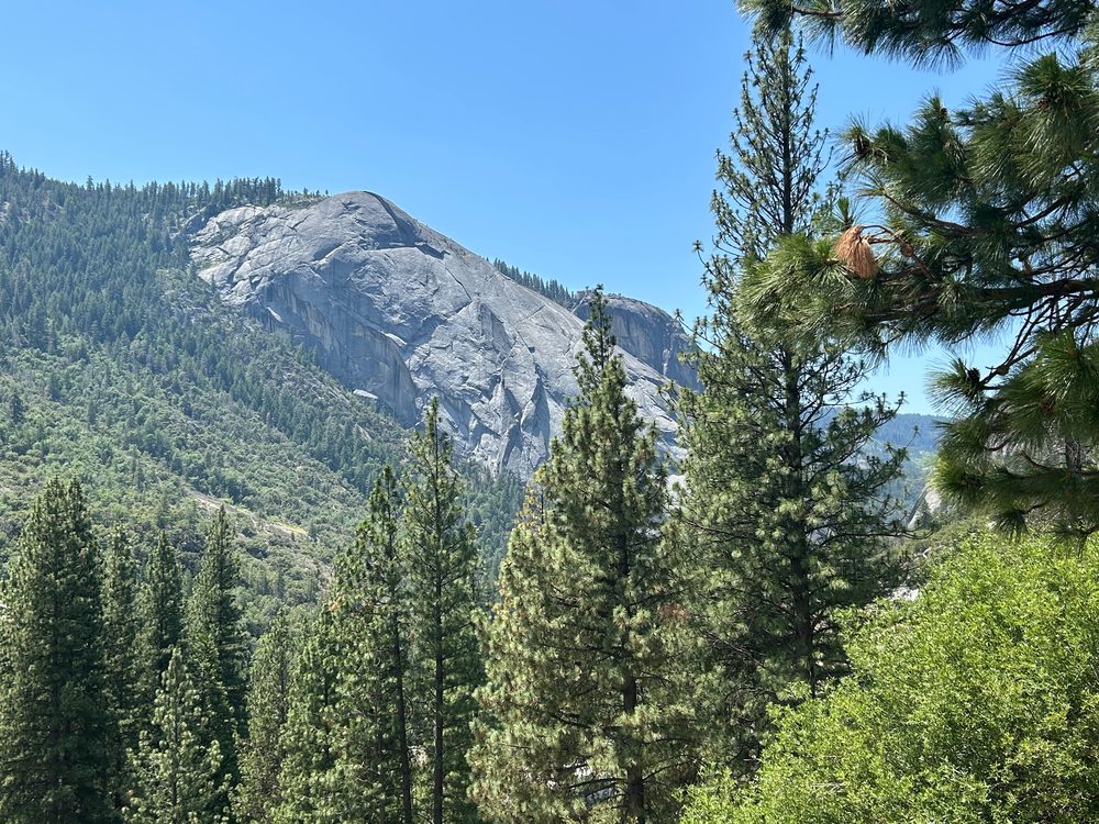
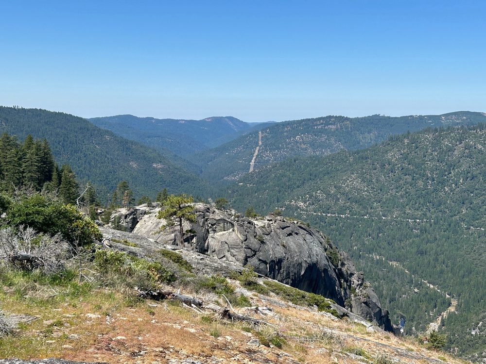
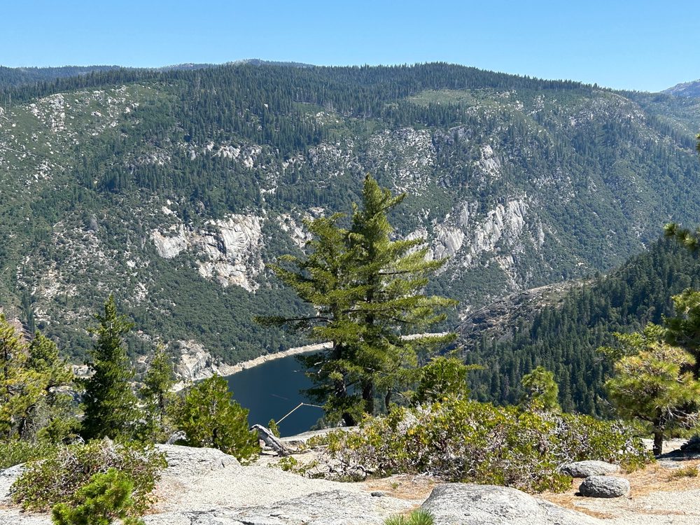
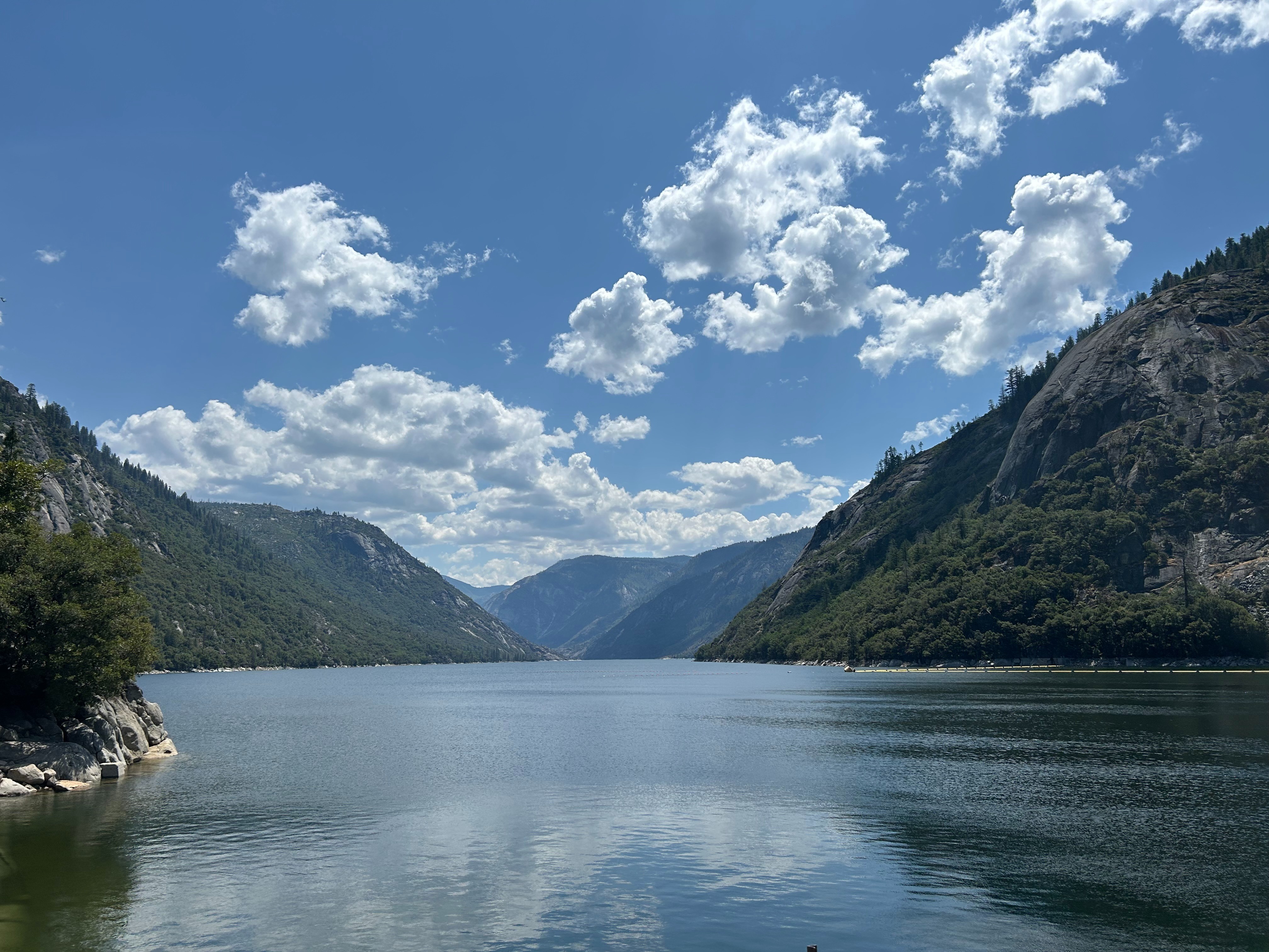
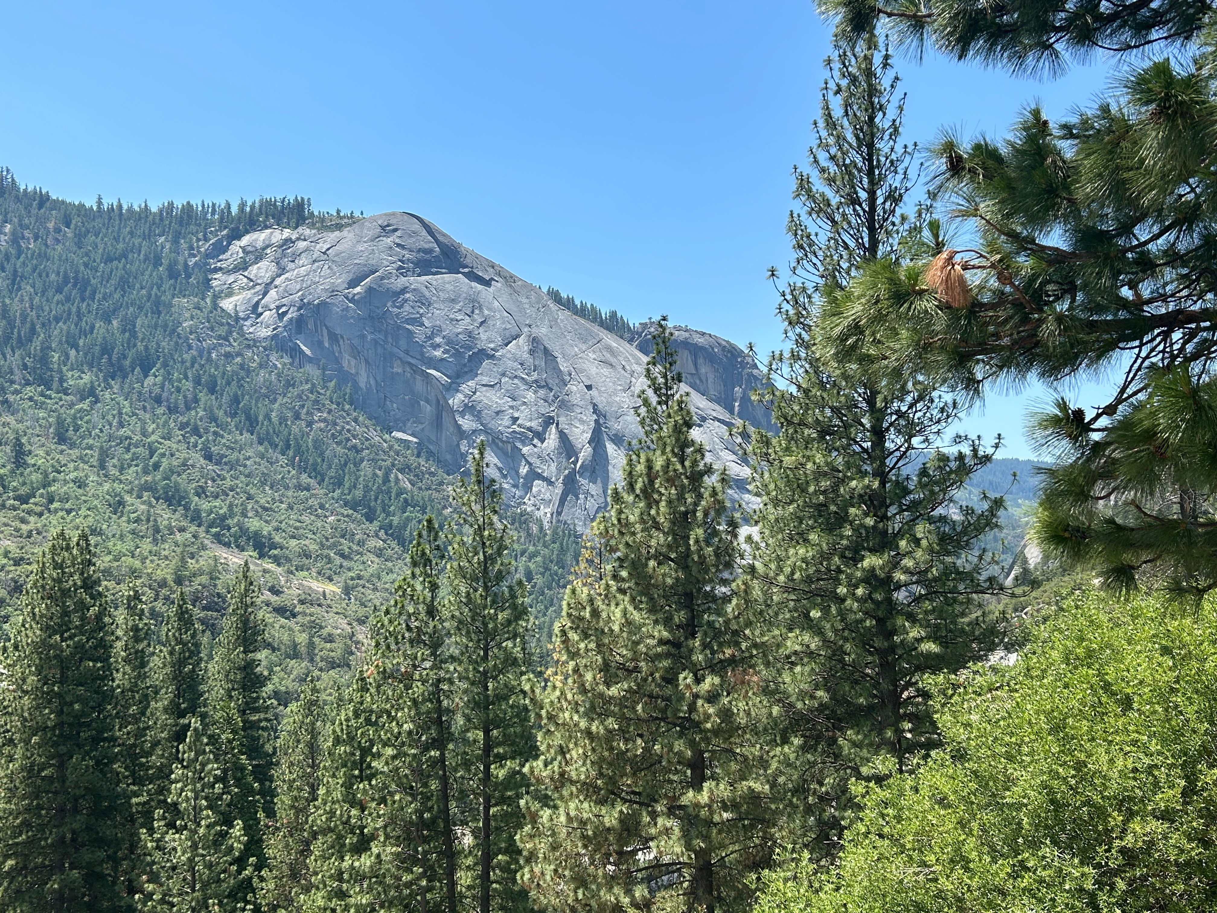
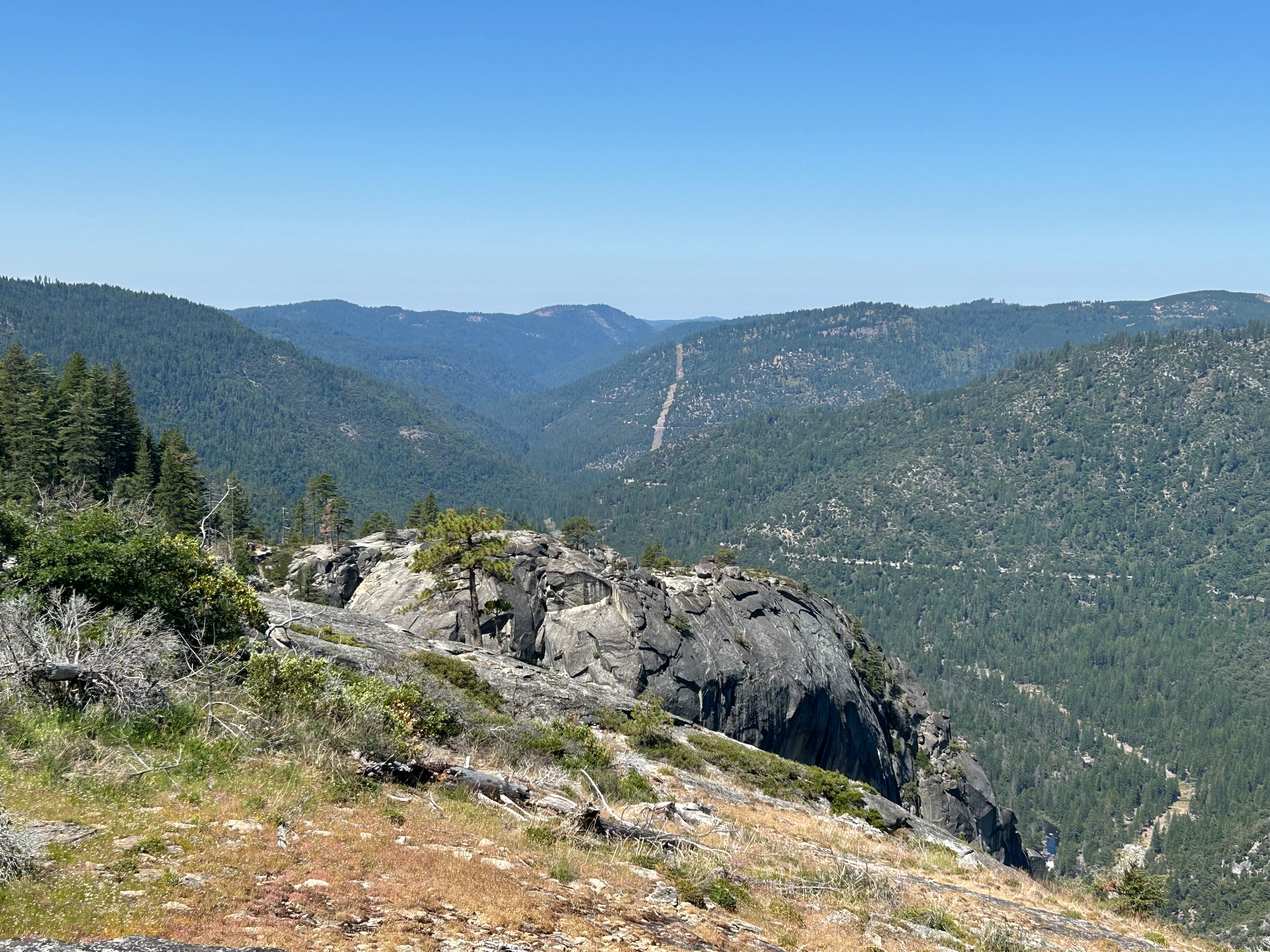
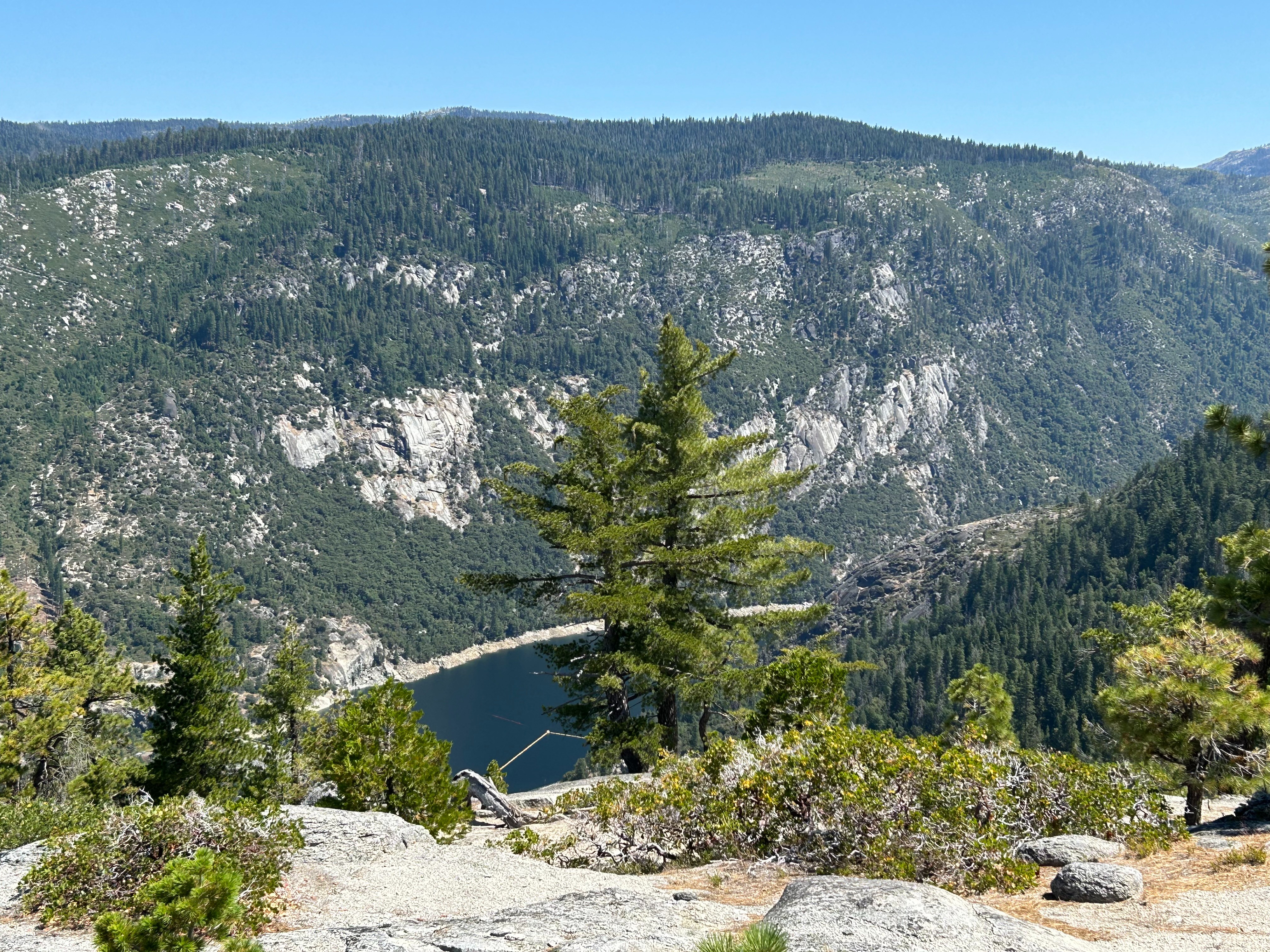
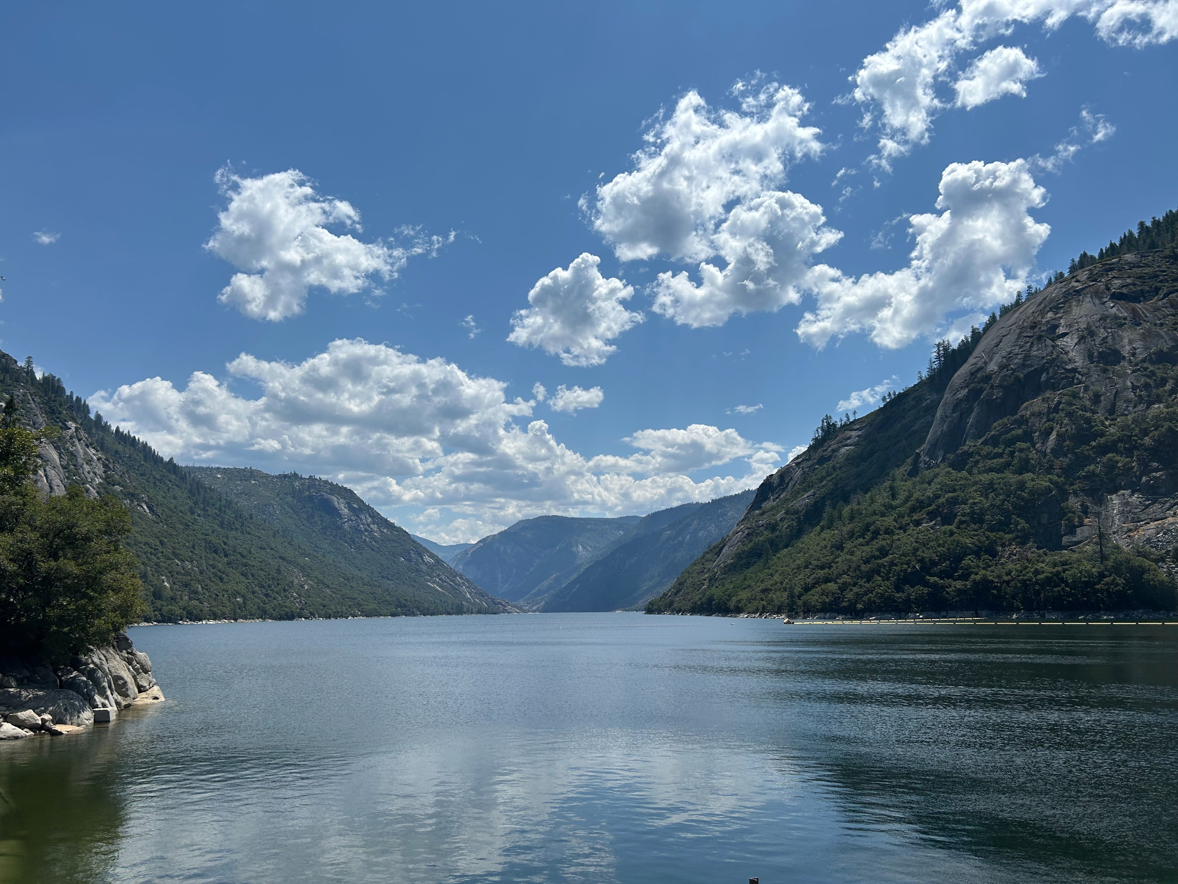
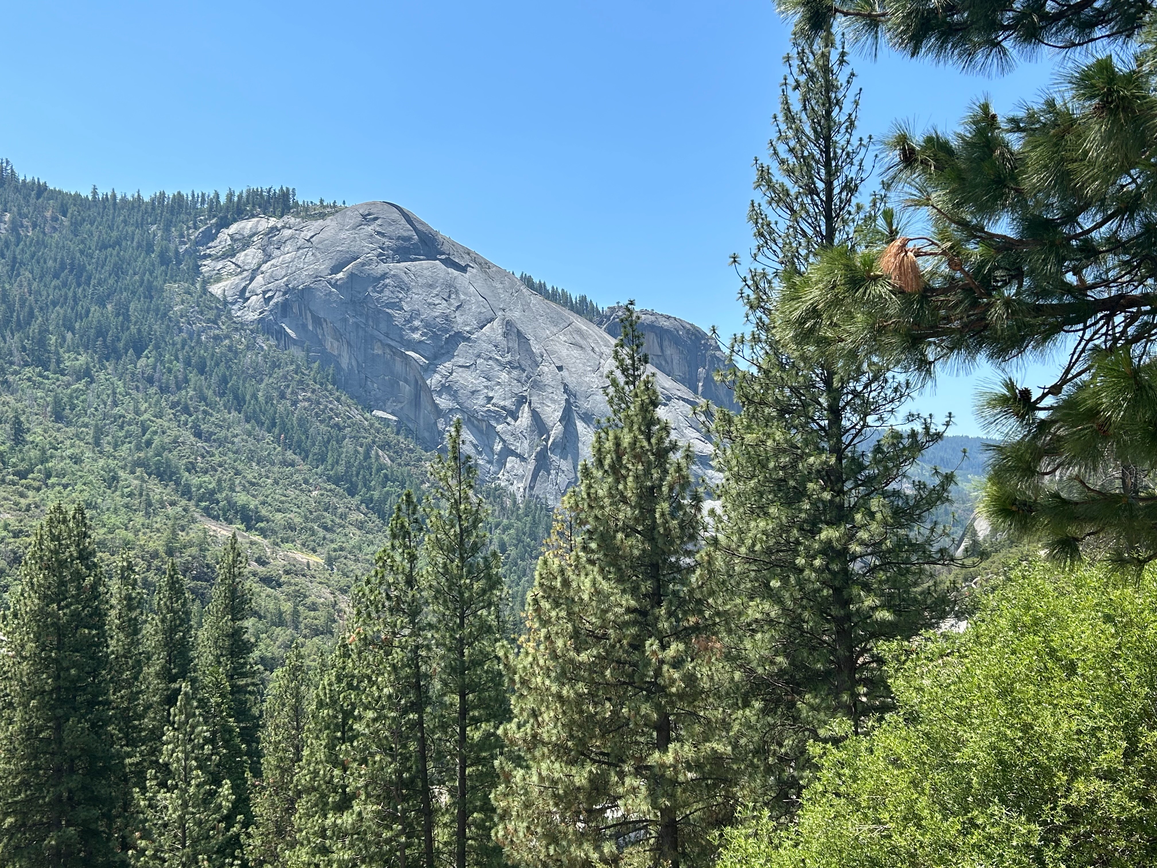
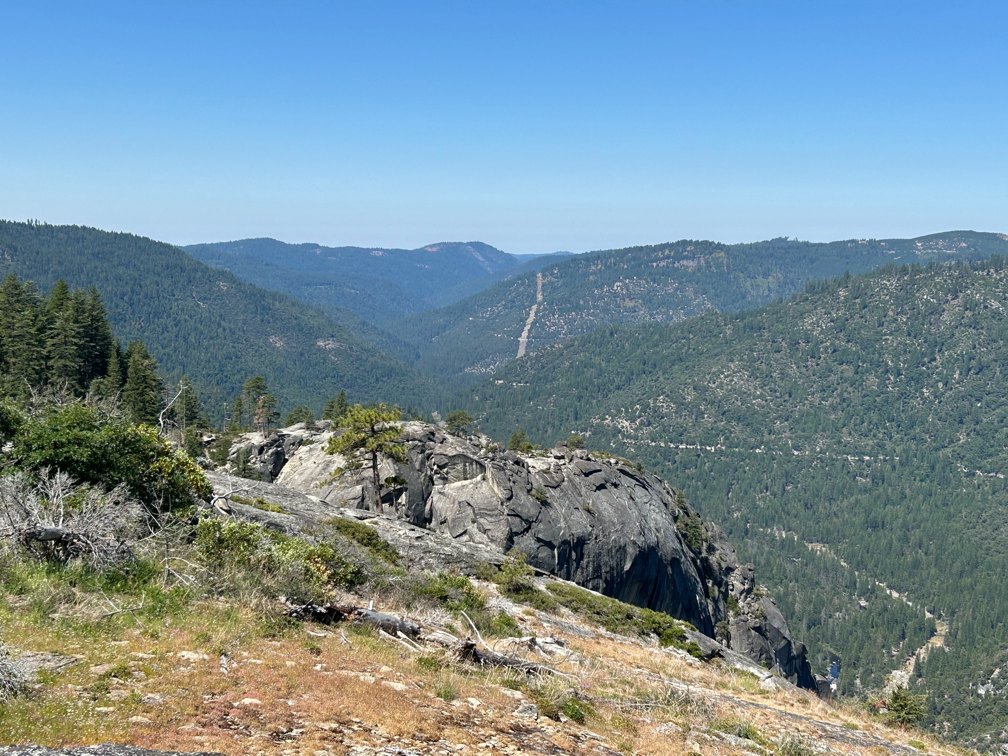
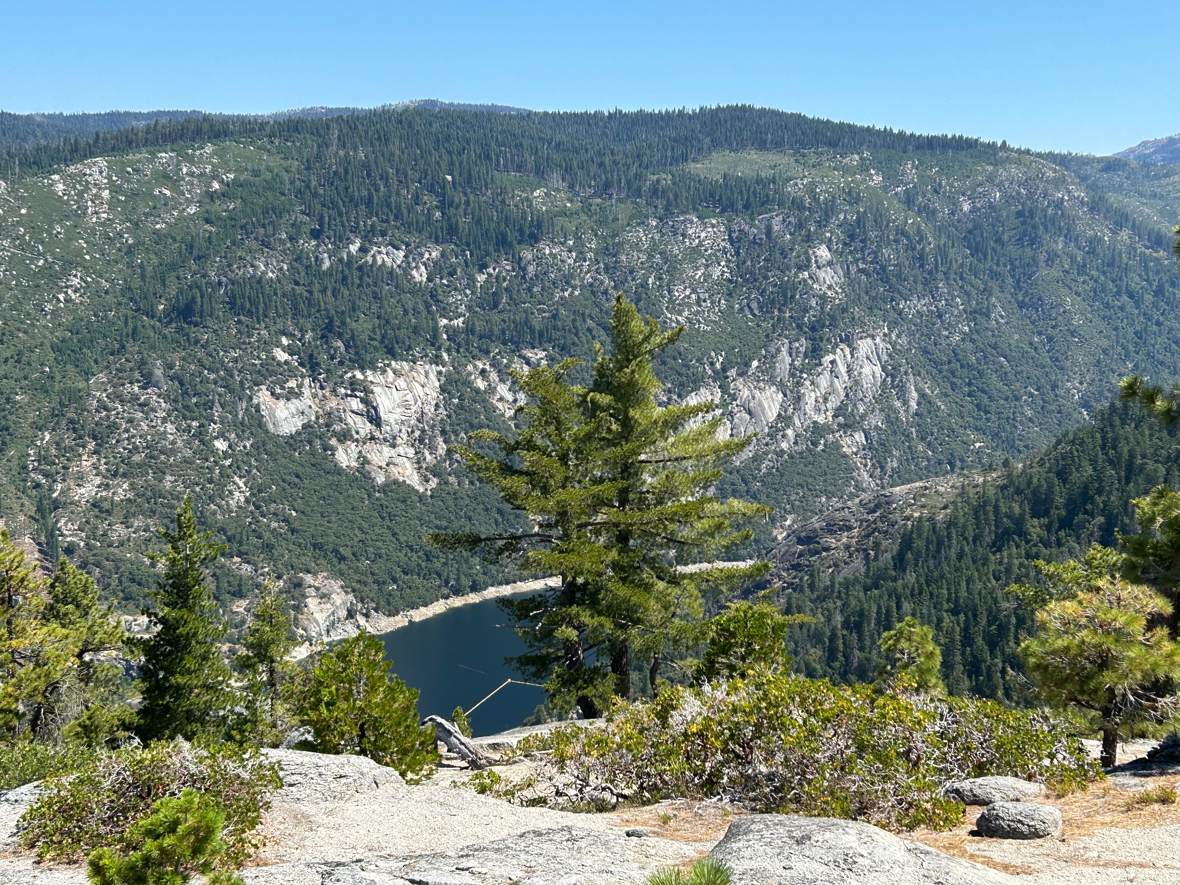
    Thanks everyone for coming out on the run today and hope all made it home safe and sound.  Very fun run to the top of the Dome today and then circled around to the base of the Dome by the Mokelumne River.  Had lunch at the top of the Dome.  End of the trail became more moderate than easy, but very picturesque by the river.  Tony and Amy, potential new members were on the run, Welcome!  Pictures are from the top of the Dome, base of the Dome and Salt Spring Reservoir.

    IMG_3320-1.JPGIMG_3329-1.JPGIMG_3416-1.JPGIMG_3420-1.JPG
    • IMG_3320.JPG
    • IMG_3329.JPG
    • IMG_3416.JPG
    • IMG_3420.JPG
    • IMG_3320-1.JPG
    • IMG_3329-1.JPG
    • IMG_3416-1.JPG
    • IMG_3420-1.JPG
  16. tonytech1 Member Joined: July 2025
    #1619 Jul 2025, 2:45 PM
    Jeff L said Thanks everyone for coming out on the run today and hope all made it home safe and sound.  Very fun run to the top of the Dome today and then circled around to the base of the Dome by the Mokelumne River.  Had lunch at the top of the Dome.  End of the trail became more moderate than easy, but very picturesque by the river.  Tony and Amy, potential new members were on the run, Welcome!  Pictures are from the top of the Dome, base of the Dome and Salt Spring Reservoir.

    Jeff

    We had a great time. I especially enjoyed lunch with everyone.

    Thank you for having us.

    Tony & Amy
  17. Guy and Lynda Member Joined: May 2015
    #1720 Jul 2025, 12:21 AM

    This second installment of the Calaveras Dome 2 run was just as enjoyable as the first...definitely worth it. The dirt trail was dusty & there were a few washouts that captured your attention without question, but far more to enjoy for sure. Thanks again to Jeff Light's insight to a great day & the ice cream deserts at lunch!

  18. BKGM Jeepers President Joined: June 2003
    #1820 Jul 2025, 2:13 AM

    Thank you Jeff for setting this up!  We had a great time exploring the area.  I'm glad everyone made it home safe.  We were home just after 5.

    Kathleen and Brad
  19. Guy and Lynda Member Joined: May 2015
    #1920 Jul 2025, 5:22 AM
    tonytech1 said
    Jeff L said Thanks everyone for coming out on the run today and hope all made it home safe and sound.  Very fun run to the top of the Dome today and then circled around to the base of the Dome by the Mokelumne River.  Had lunch at the top of the Dome.  End of the trail became more moderate than easy, but very picturesque by the river.  Tony and Amy, potential new members were on the run, Welcome!  Pictures are from the top of the Dome, base of the Dome and Salt Spring Reservoir.       

    Jeff
    We had a great time. I especially enjoyed lunch with everyone.

    Tony, we enjoyed yours & Amy's company as well, hope to see you on future runs & meetings. Our understanding is that you backtracked up the trail we descended to the park. Hope all went well, especially that narrow crossing section where the slide was. Typically, we try to have 2 rigs for recovery reasons, so you're not stranded in remote situations. But we had a low count initially.    

Sign in to post here.