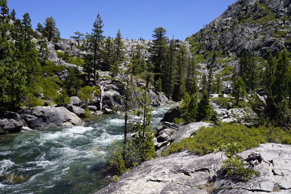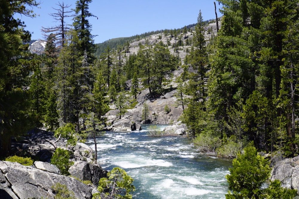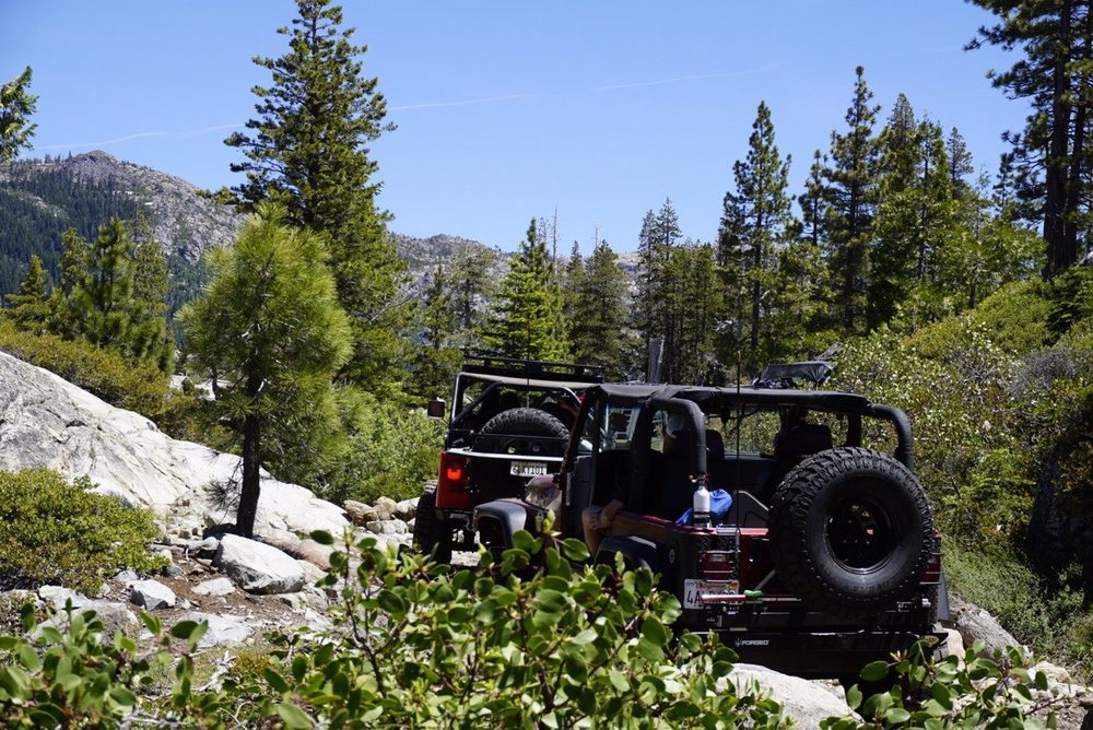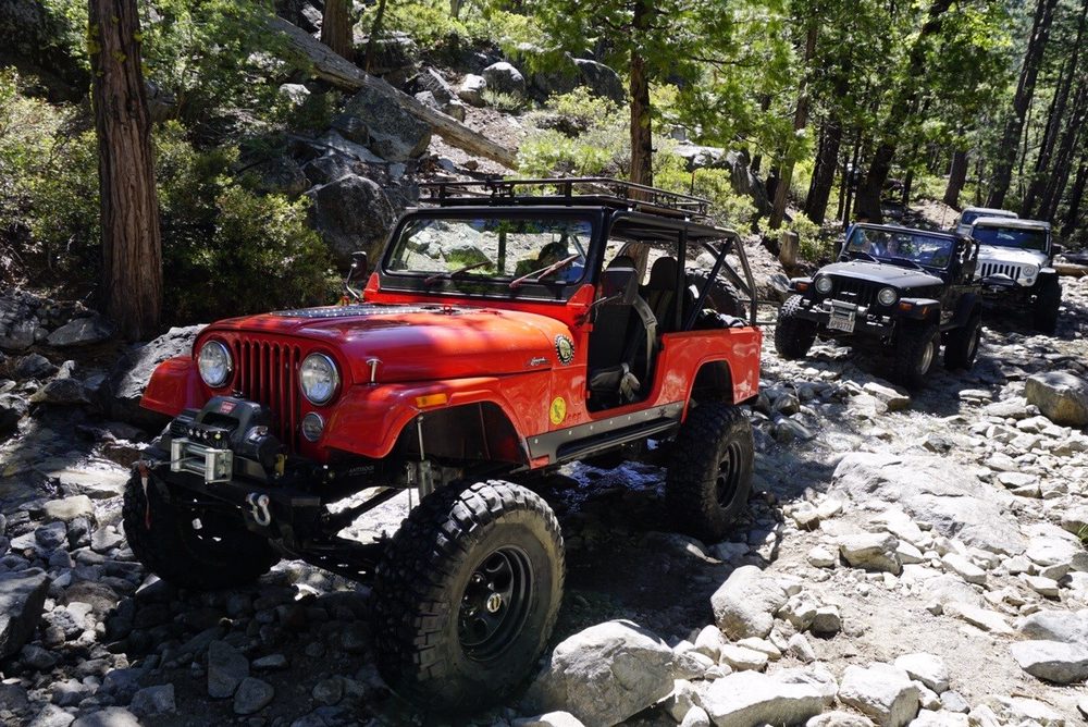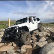
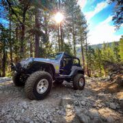
On Saturday, I had an opportunity to run up to Fordyce via the Eagle Lakes entry.
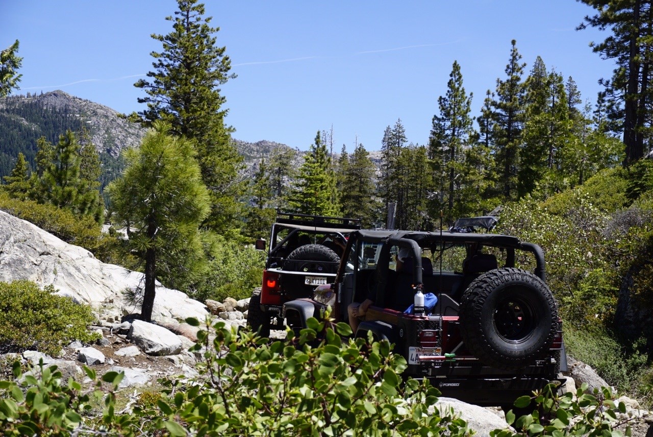
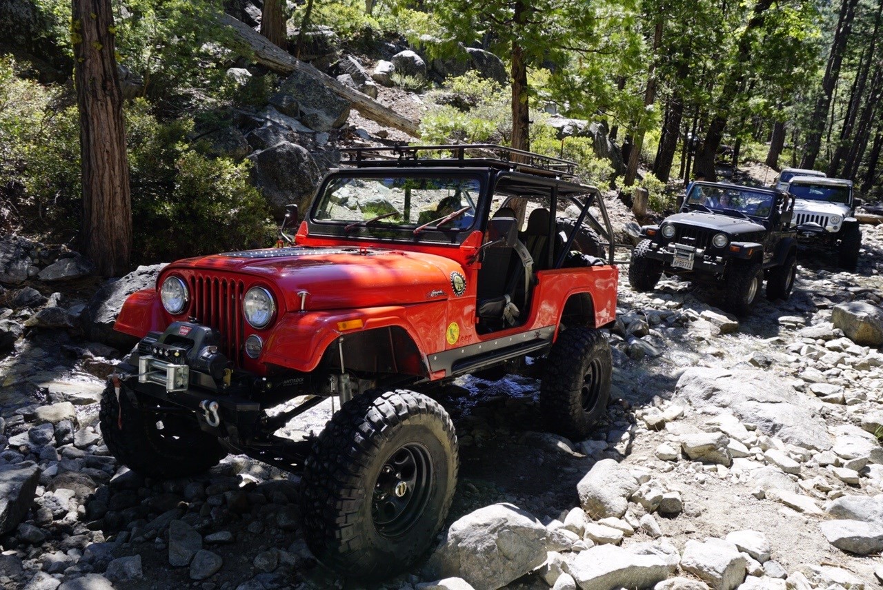
The trail was pretty light on rigs but lots of people just camping and hanging out when I got there. Driveline hill is pretty tore up. The tree at the top in the center is missing which it has been for a long time. The right side has some big holes. I went up the left side until about half way and turned right to finish the climb. While at driveline hill, a group passed us via the bypass which we would later catch up to them. Another group of newer Toyotas came in behind us and were pulling winch cable just trying to get to the bypass for driveline hill. We decided to get a move on after seeing that.
After driveline hill, the trail was fairly easy, but the pace was slow. It took us approximately 3 hours to get to the river crossing. The slow pace was mainly due to the group in front of us who had a semi stock rubicon unlimited with them. I don't think it even had plates yet.
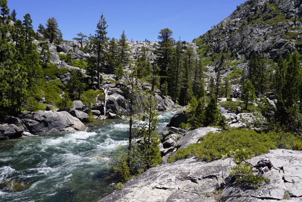
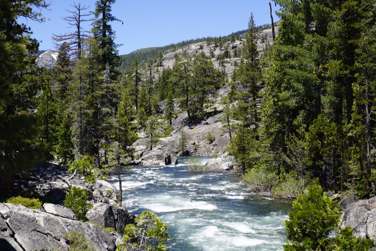
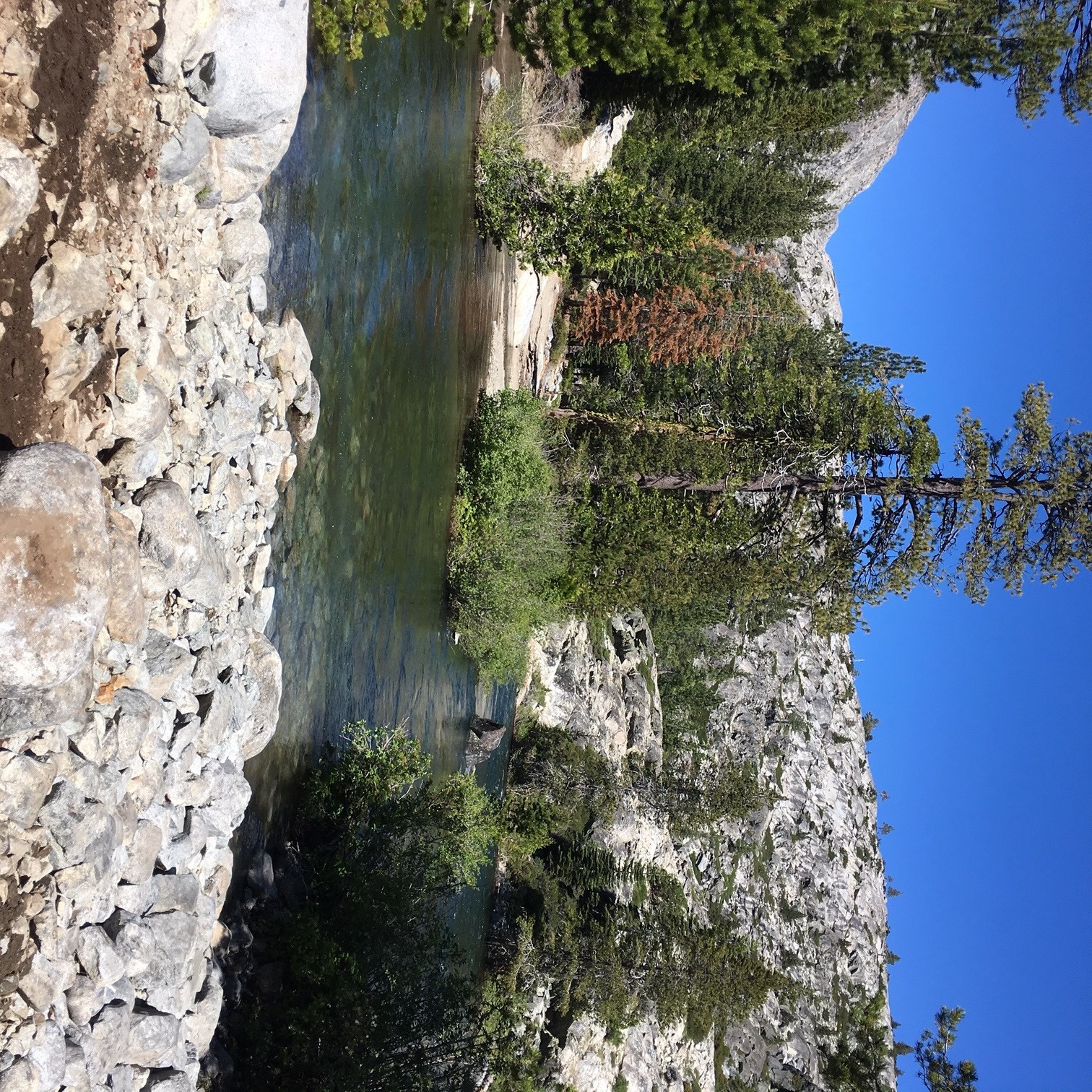
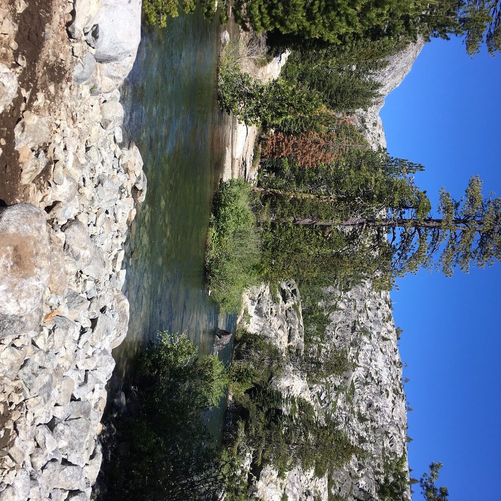
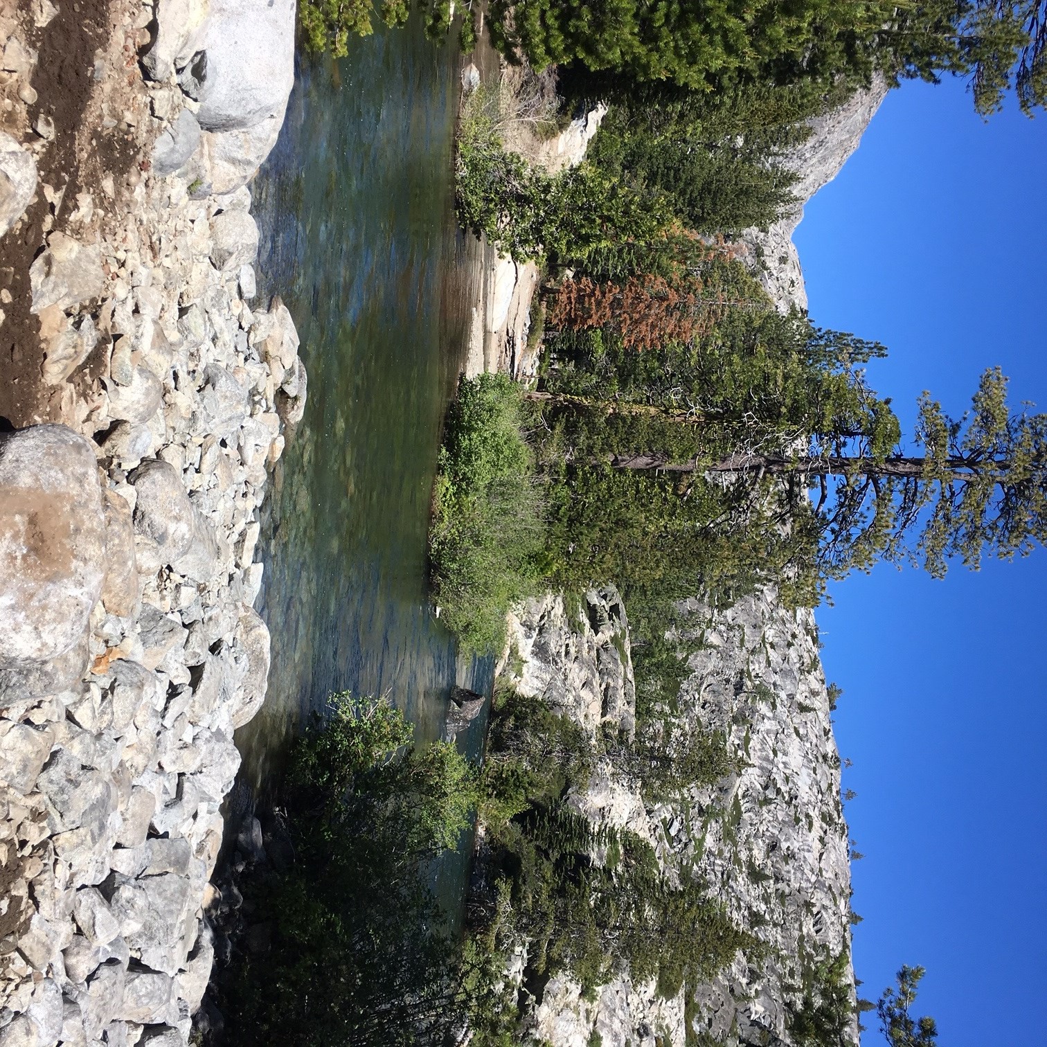
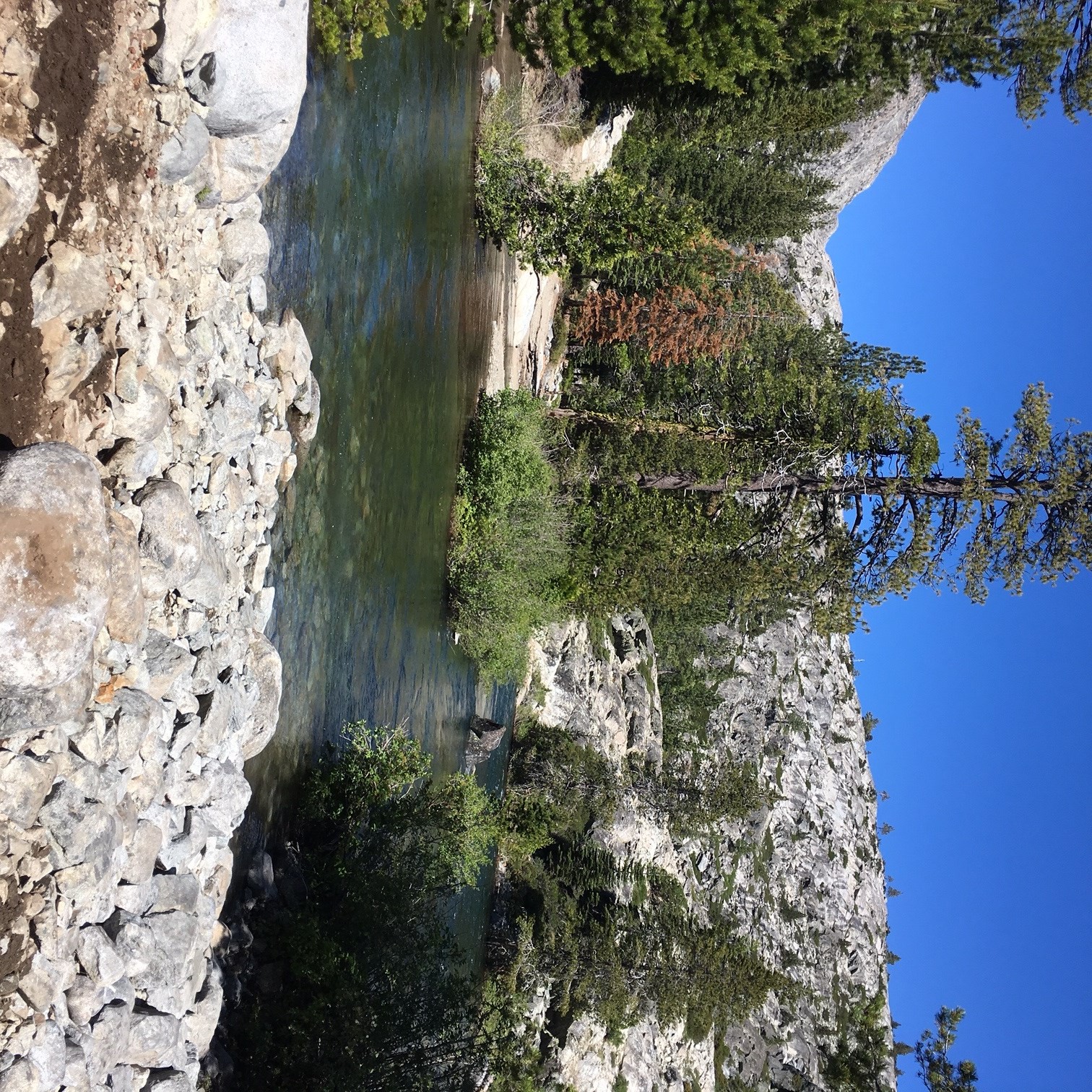
Once we got to the drop down to the river, the trail gets a little more challenging. Nothing major just well placed diff rocks. At the river, the crowds weren't to bad but you could tell that this was the destination to be at. A few groups camping but plenty of room for everyone. No body attempted to cross. The flows for the day were measured right around 850cfs.
We hung out at the river for about 2 hours then headed back to again only get in a long line of rigs that went really slow. Once to driveline hill, rigs started spacing out and I could go as fast as I wanted to the staging area.
All in all it was a fun day and I'd like to go back again. Maybe weekday trip is in order.
SIGNAL PEAK:
Once at the staging area, there was a group that had attempted signal peak. They spent approximately 8 hours clearing trees, winching and digging trying to make it to the top and were unsuccessful. Jeff and I had tried to access signal peak via rattlesnake road and were unsuccessful the previous weekend so I'm not surprised they didn't make it to the top. Plus you can still see snow from the interstate.